
What changed
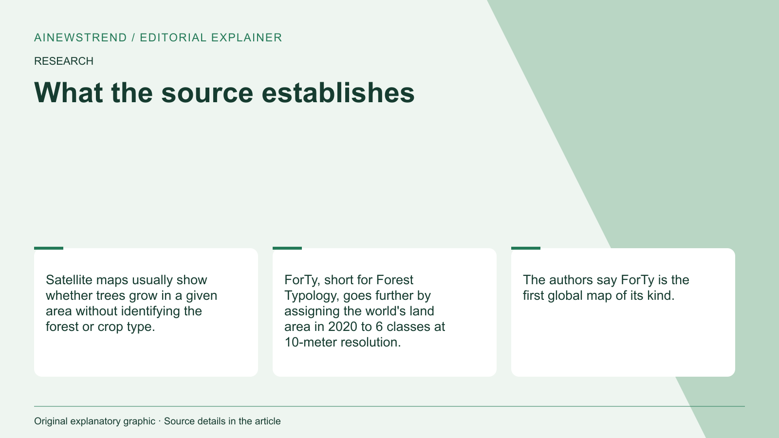
Google Deepmind and the World Resources Institute announced the release of ForTy, an AI-driven global map of forests and land use, created using satellite data and machine learning. The map classifies land into six categories, including primary forest, plantations, and tree crops, at a resolution of 10 meters. It is the first global map of its kind, offering detailed insights into land use patterns from 2020.
What this means in practice
ForTy provides a 2020 reference point for companies assessing supply chain risks under the EU Regulation on Deforestation-free Products (EUDR). This regulation prohibits goods linked to forests cleared or degraded after December 31, 2020. The map helps identify how land was used in 2020, which is critical for compliance. It also supports initiatives like the Tropical Forest Forever Facility (TFFF) and the UN goal of protecting 30 percent of the world's land by 2030.
Limitations and availability
The map achieved 90.2% overall accuracy but has limitations in identifying tree crops and planted forests, correctly identifying only about half of these areas. It also struggles with distinguishing between shaded crops and open woodlands. The map is freely available under a CC BY 4.0 license, including in Google Earth Engine. The code and dataset are available in the GeeFlow and JEO repositories. The map's accuracy varies by region, with some areas overestimated or underestimated in forest coverage.