
What changed
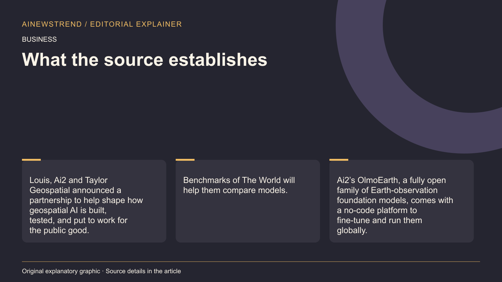
At SatSummit in St. Louis, Ai2 and Taylor Geospatial announced a partnership to shape how geospatial AI is built, tested, and applied for the public good. The collaboration aims to provide conservation, agriculture, and humanitarian practitioners and policymakers with foundational tools instead of starting from scratch. Ai2’s OlmoEarth, a fully open family of Earth-observation foundation models, includes a no-code platform for fine-tuning and running models globally. Fields of The World, an open ecosystem for creating a global dataset of farm field boundaries from satellite imagery, is being expanded for higher boundary precision and to include crop type and yield.
What this means in practice
The partnership will produce datasets, benchmarks, and model weights under open licenses on Source Cooperative and GitHub. These resources will help organizations without the capacity to pretrain, evaluate, and maintain open Earth observation models. The collaboration also includes a user advisory group of 13 experts from government agencies, UN organizations, nonprofits, universities, and geospatial companies who review data and models and test them in their own work as early pilot partners. Ai2 and Taylor Geospatial aim to bring similar practitioner input to shared benchmarks, ensuring models are tested on the tasks people in the field need to solve.
Limitations and availability
The partnership will release datasets, benchmarks, and model weights under open licenses, but the exact timeline for release is not specified. Fields of The World is being expanded for higher boundary precision and to include crop type and yield, but the availability of these enhancements is not detailed. The collaboration aims to bring practitioner input to shared benchmarks, but the process for submitting feedback or participating in testing is not outlined in the announcement.